Drone Integration

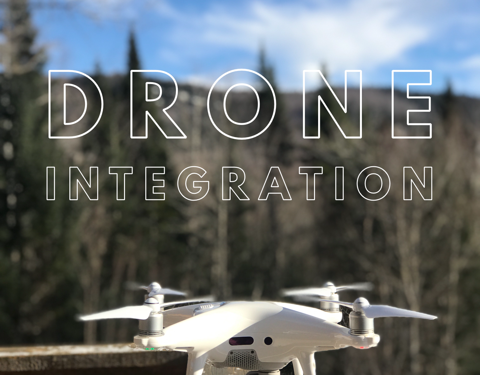
Drones are starting to make more positive appearances in the news and this is a great start.

In 2017 the FAA rolled out the Integration Pilot Program (IPP). This program brings together governments (state, local, tribal) together with private entities (drone operators or manufacturers) to successfully and safely integrate drones. ‘The program has created a meaningful dialogue on the balance between local and national interests related to drone integration, and provide actionable information to the USDOT on expanded and universal integration of drones into the National Airspace System.’ – FAA website (author unknown)

The 9 IPP Lead Participants are evaluating a host of potential operational concepts like:

  • Fying at night operations
  • Flying over people
  • Beyond the pilot’s line of sight (BVLOS)
  • Delivering packages
  • Obstacle avoidance technology
  • Reliable & secure data links between pilot & aircraft

There are some fields that could see immediate opportunities from this program, such as:

  • Commerce
  • Photography/Videography
  • Emergency management
  • Agricultural support
  • Infrastructure inspections

There are so many practical and useful applications for drones and that’s one thing we love to do is help industries figure out how to create safer & ore efficient workflows. Have questions? Reach out! We would love to problem solve with you!

Interested in reading more about this program? Click here . (All this information was provided by the FAA website.)

3D models…?

What are 3D models? Why are they useful? How in the world did you do that?? These are all questions we receive on a regular basis, and we love being able to explain!  Let me break it down.

What are 3D models? 3D models are an interactive digital space.  They can be used for marketing, construction, surveying (with licensed surveyors), video games, I could go on!  We recently did a 3D model for a golf course and in that model, you can literally walk through the entire course from the comfort of your own home without setting a foot outside.

Why are they useful? 3D models help increase your digital footprint, they provide cutting edge technology for you and your clients, and they can help generate business and widen exposure – just to name a few.

How in the world do we do it?  We create 3D models through the use of photogrammetry.  That is a big word, but simply means the science of making measurements through the use of photos.  So, when we create a 3D model we are taking several photos (by several I mean anywhere from a couple hundred to thousands!) and we stitch those photos together to create the 3D model.

Still have questions about 3D models? Ask below or reach out to us! You can look at some of our 3D models here:  AerialScope 3D Models

You can also watch a YouTube video on our channel where I navigate through one of our 3D models and help you figure out how to use it:

3D Model Navigation Video