 AerialScopeFlight
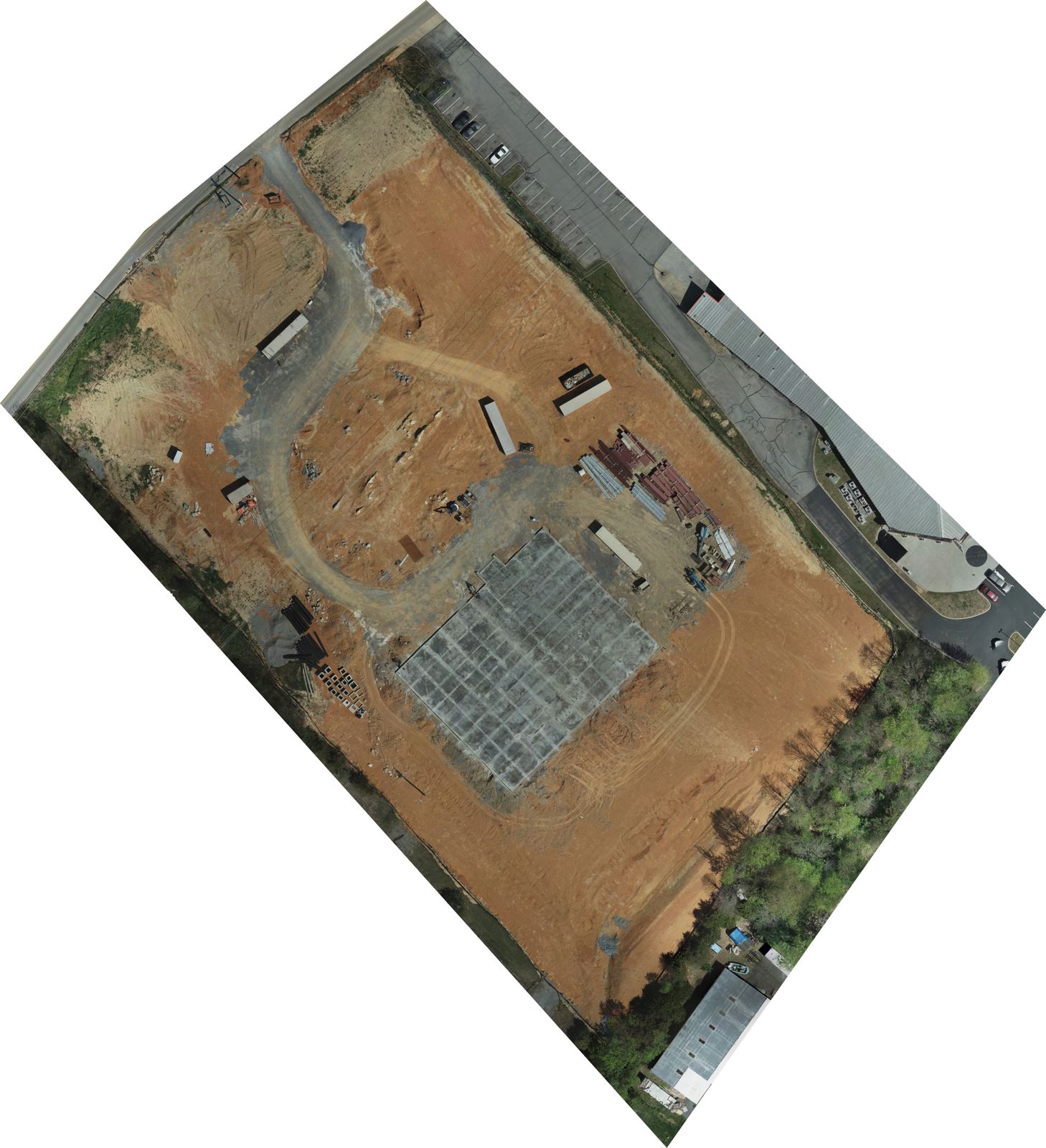
Mapping & 3D models
To-scale maps, elevation models and 3D models of a whole site, stitched from hundreds of photos. For planning, progress and marketing. Custom quote.
Custom quote
Commercial & site data
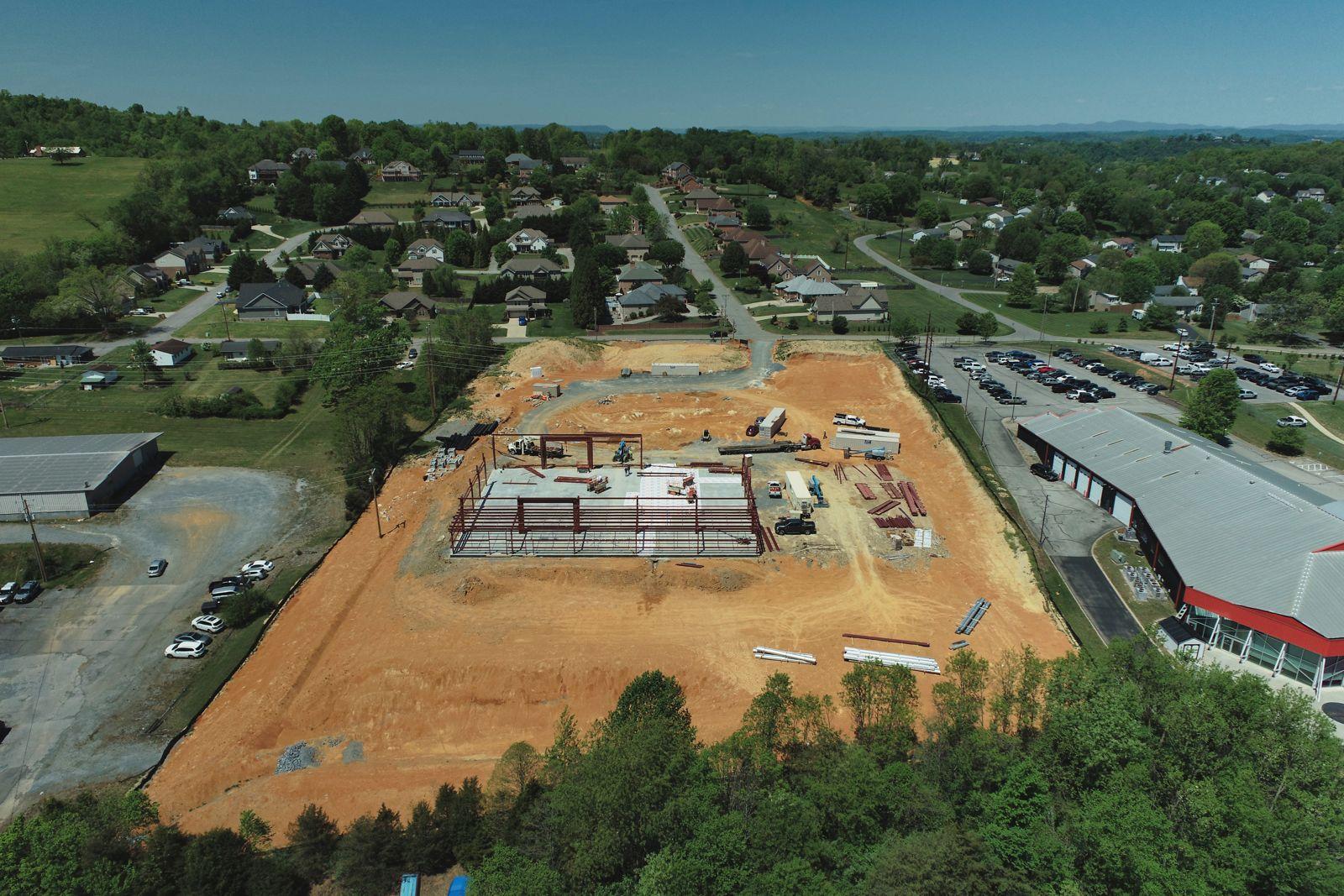
Monthly aerial records of your build from groundbreaking to finish, flown by FAA-certified pilots in the Tri-Cities. When it's done, the same crew can shoot the listing photos and video.
Who it's for
Show owners and subs exactly where the job stands without walking every visitor around the site.
See the whole project from above each month, even when you can't be in Johnson City to check on it.
Get dated, same-angle photos you can review alongside draw requests as supporting documentation.
What you get
* Prices may change at any time. We'll always confirm the current price in your quote before you book.
Request a quoteQuestions
Once a month works for most builds, and that's what our monthly plan covers. Monthly visits catch each phase, from grading to framing to the finished shell. If you only need a record of one milestone, such as a pour or topping out, book a single visit.
Ask your lender first. Drone photos are supporting documentation: they show the whole site on a known date from the same angles each month, which makes progress easy to see. Each lender sets its own rules for draws and inspections, so confirm what they accept before you rely on aerials.
Yes. We flew a commercial build in Johnson City from September 2025 to May 2026, from bare graded dirt to an enclosed building. Every visit used the same angles, and we made eight to-scale site maps along the way. You can see the photos and maps on our main page.
It means one crew from groundbreaking to sale. We fly your monthly progress during the build, then shoot the listing photos and video when the project is finished. You deal with one vendor who already knows the site, the access and the best angles.
Yes. Every flight carries $1 million in liability coverage. If your site or your contract requires a certificate of insurance, or needs your company named as an additional insured, we send it at no charge.
Usually. Parts of the area are controlled airspace, which needs FAA authorization before we fly, and we request it while we plan your visits. If a site can't be flown legally, we tell you before you book.
Get a quote
Send the address and the job. We'll reply with a price within one business day.
Also from AerialScope Flight
To-scale maps, elevation models and 3D models of a whole site, stitched from hundreds of photos. For planning, progress and marketing. Custom quote.
Custom quote
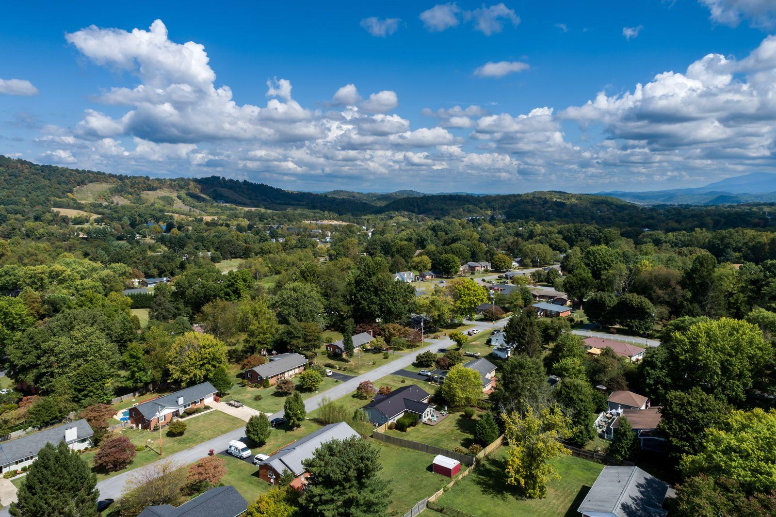
Drone photos and video for Tri-Cities listings: the house, the lot, the neighborhood and the view. Sized for MLS, Zillow and socials. Photos within 3 business days.
From $199