 AerialScopeFlight
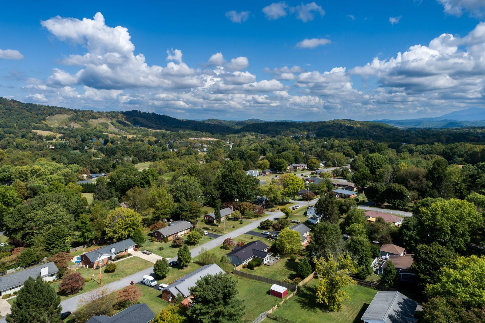
Real estate aerials
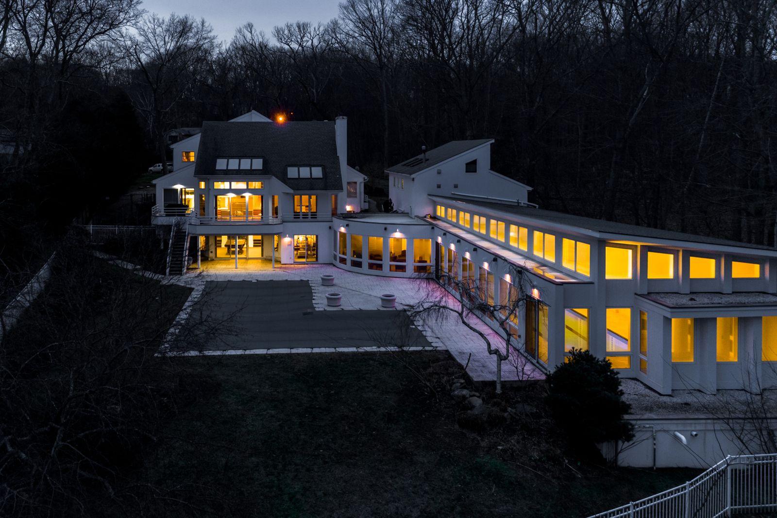
Drone photos and video for Tri-Cities listings: the house, the lot, the neighborhood and the view. Sized for MLS, Zillow and socials. Photos within 3 business days.
From $199
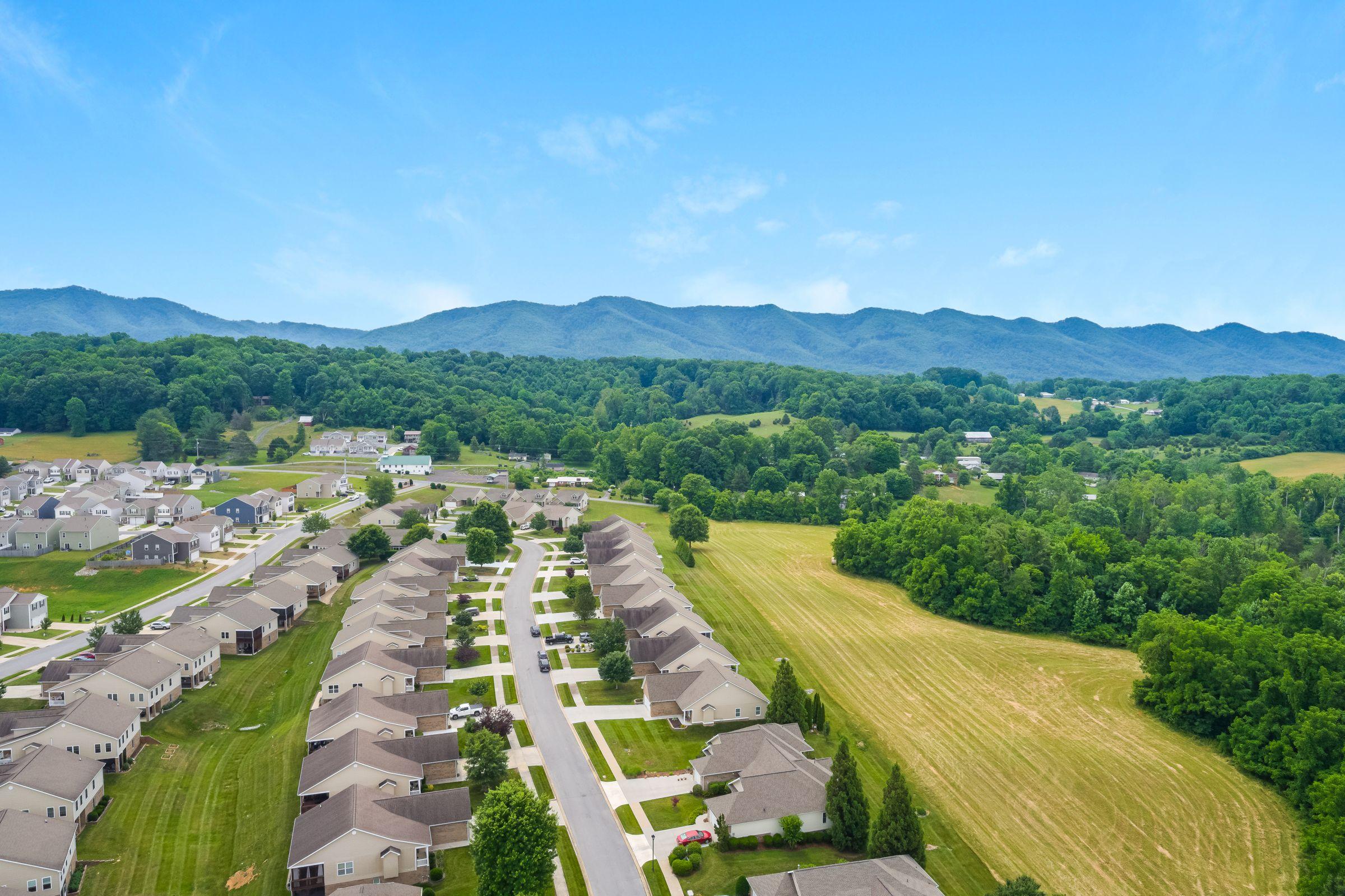
FAA Part 107 certified · Tri-Cities, TN
Marketing that sells and data you can build on: aerial photo and video, site maps, and roof and solar imaging. Photos in 3 business days; bigger projects get a firm delivery date with the quote.
Services
Two kinds of work, one crew: marketing that sells a property, and data that documents and protects one.
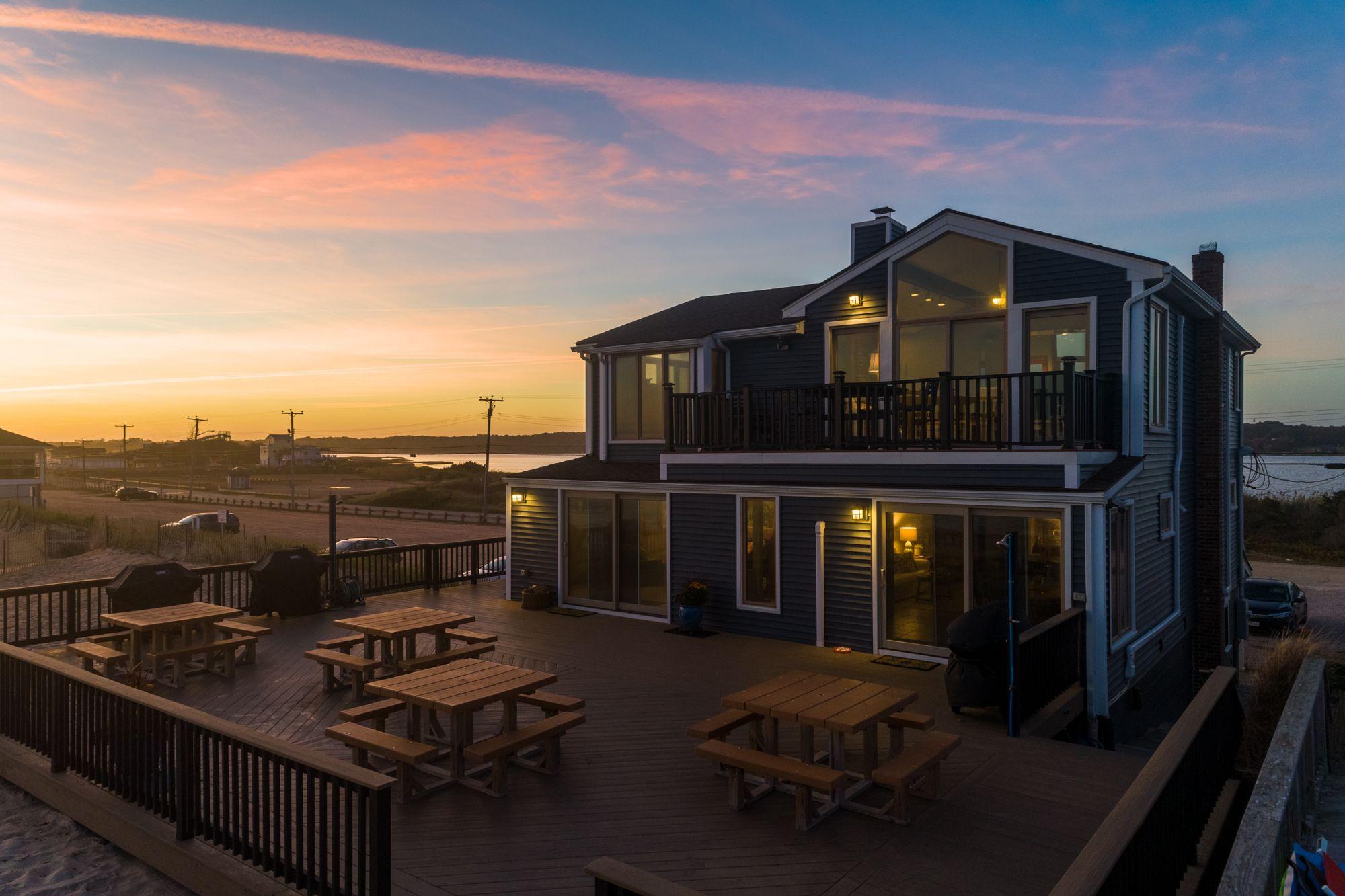
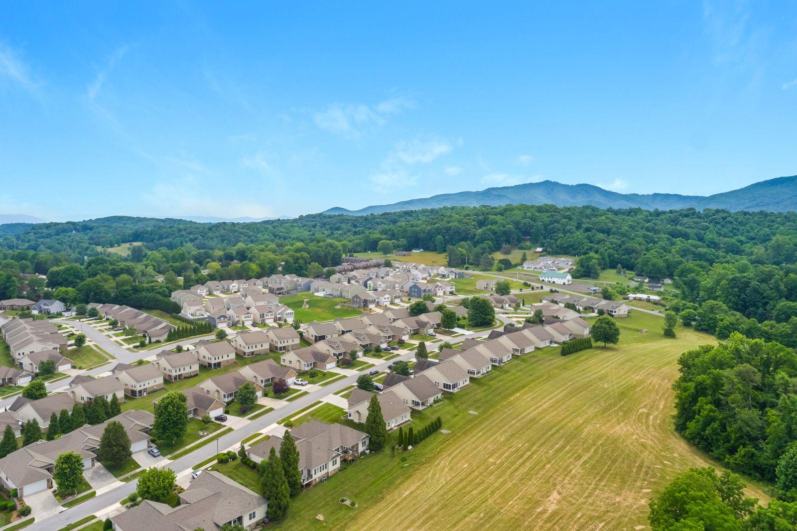
Drone photos and video for Tri-Cities listings: the house, the lot, the neighborhood and the view. Sized for MLS, Zillow and socials. Photos within 3 business days.
From $199
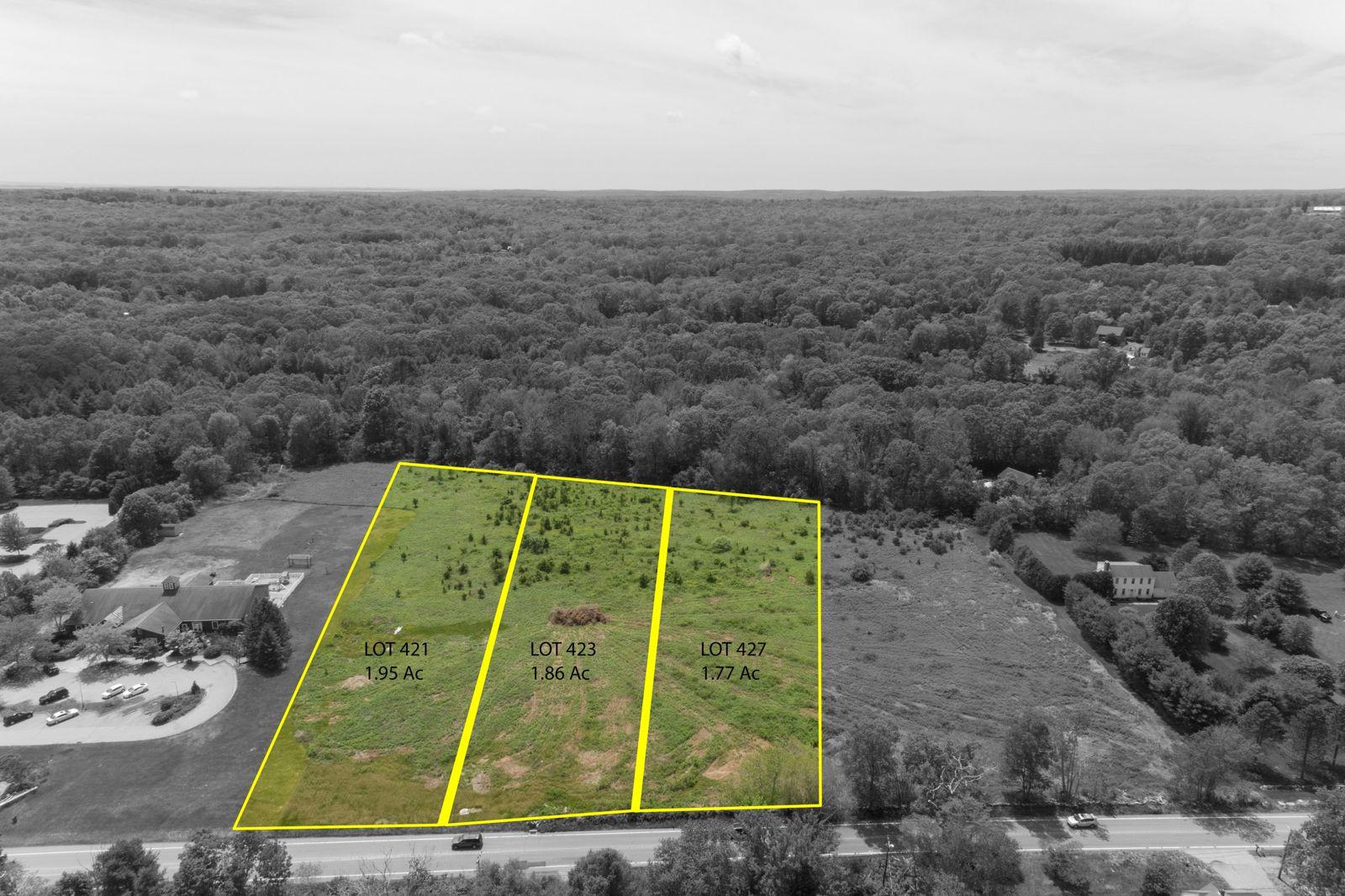
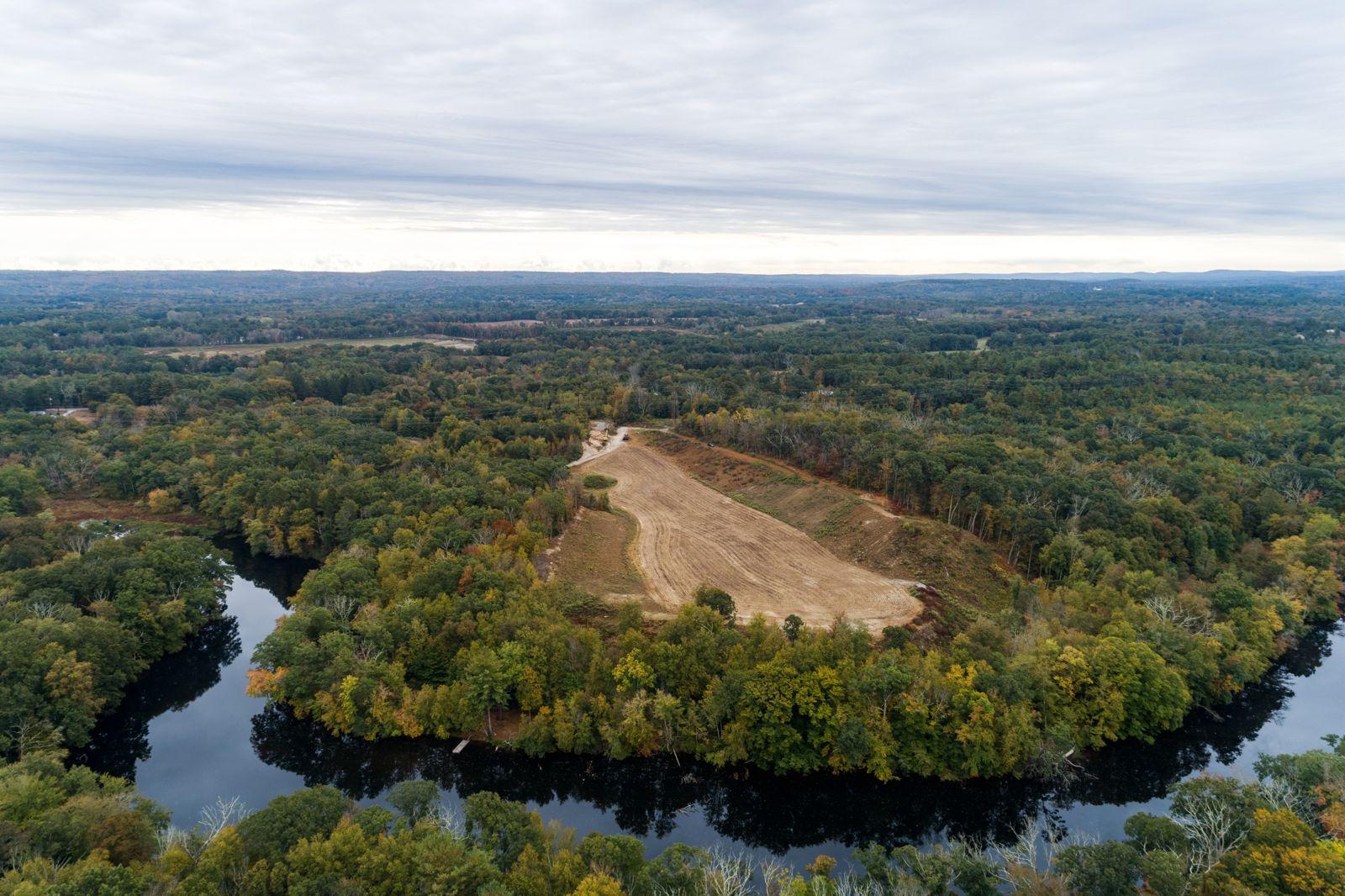
Aerials of acreage, building lots, farms and development parcels, with approximate lot lines from county records drawn on the photo. A marketing visual, not a survey.
From $199
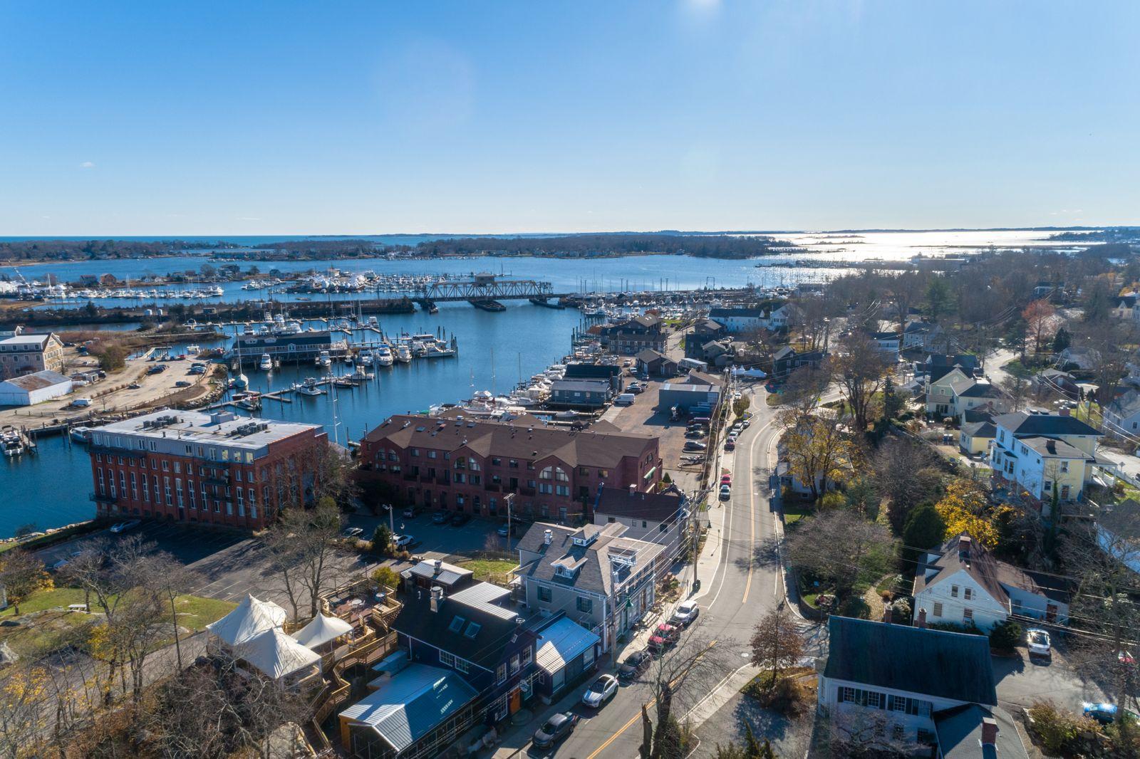
Aerial photos and video for venues, storefronts, festivals and brand films. Every job is planned around the story you want to tell. Custom quote.
Custom quote
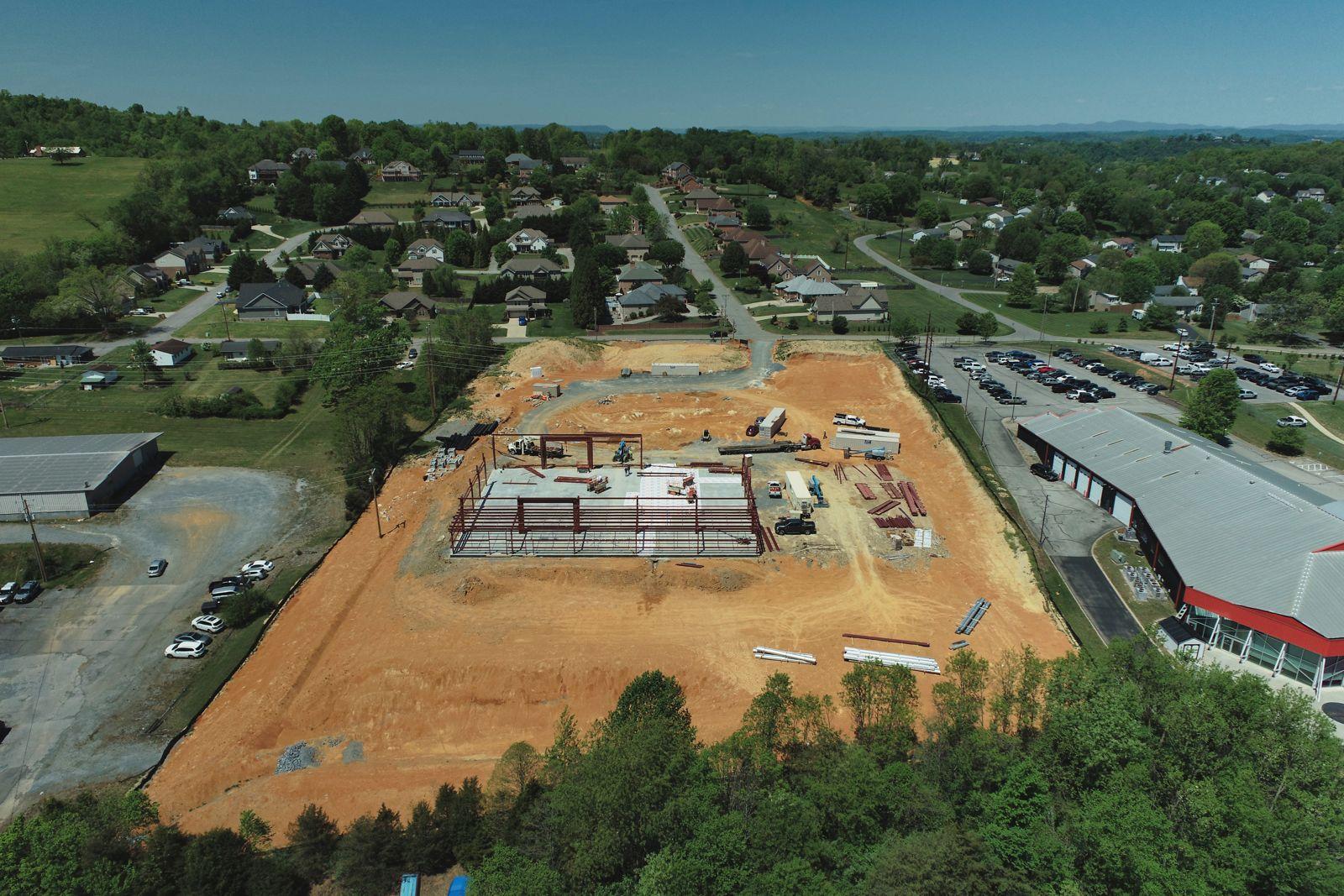
The same angles on every visit, so owners, lenders and buyers can watch the build come together. Monthly plans from $179 a visit, with an optional to-scale site map.
From $179 a visit
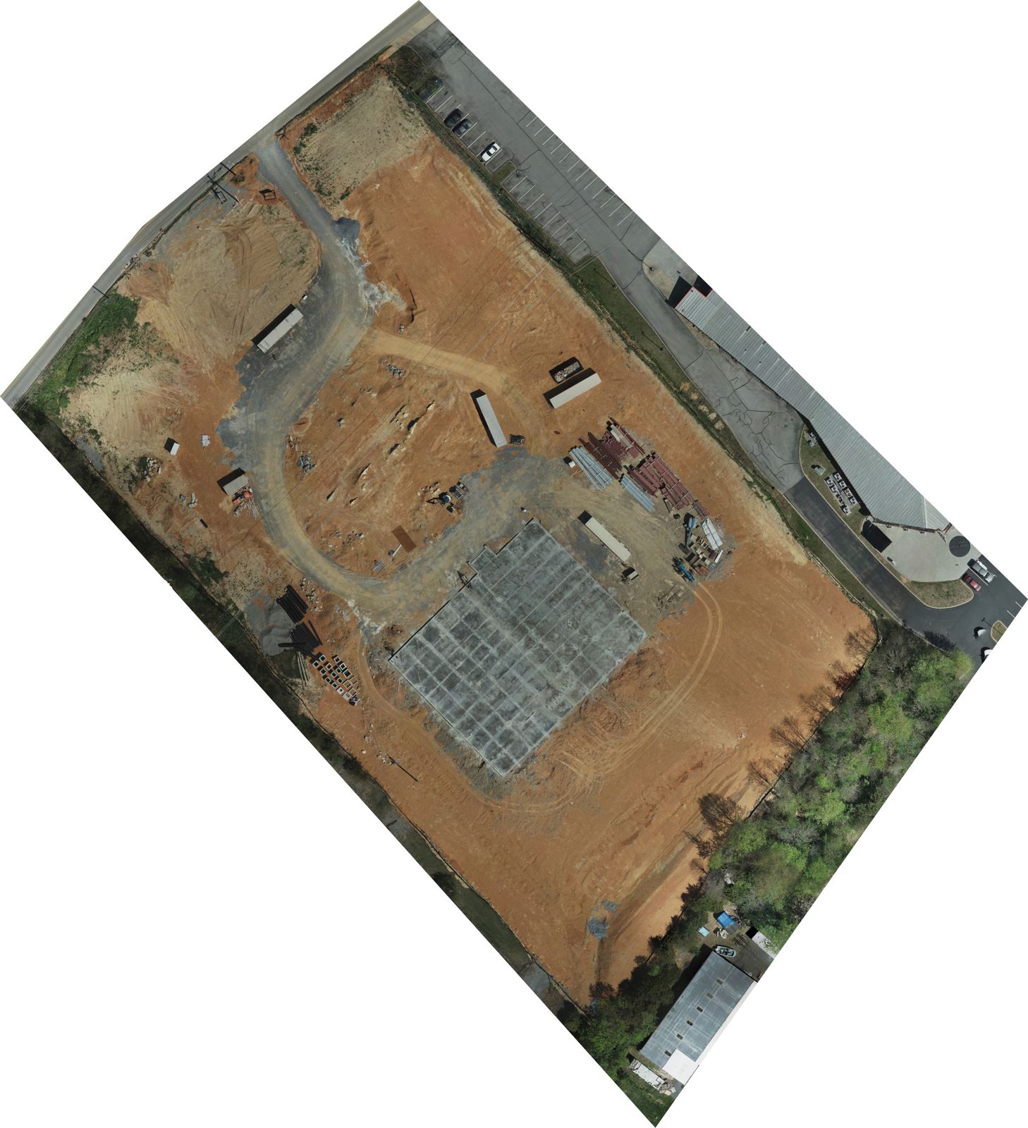
To-scale maps, elevation models and 3D models of a whole site, stitched from hundreds of photos. For planning, progress and marketing. Custom quote.
Custom quote
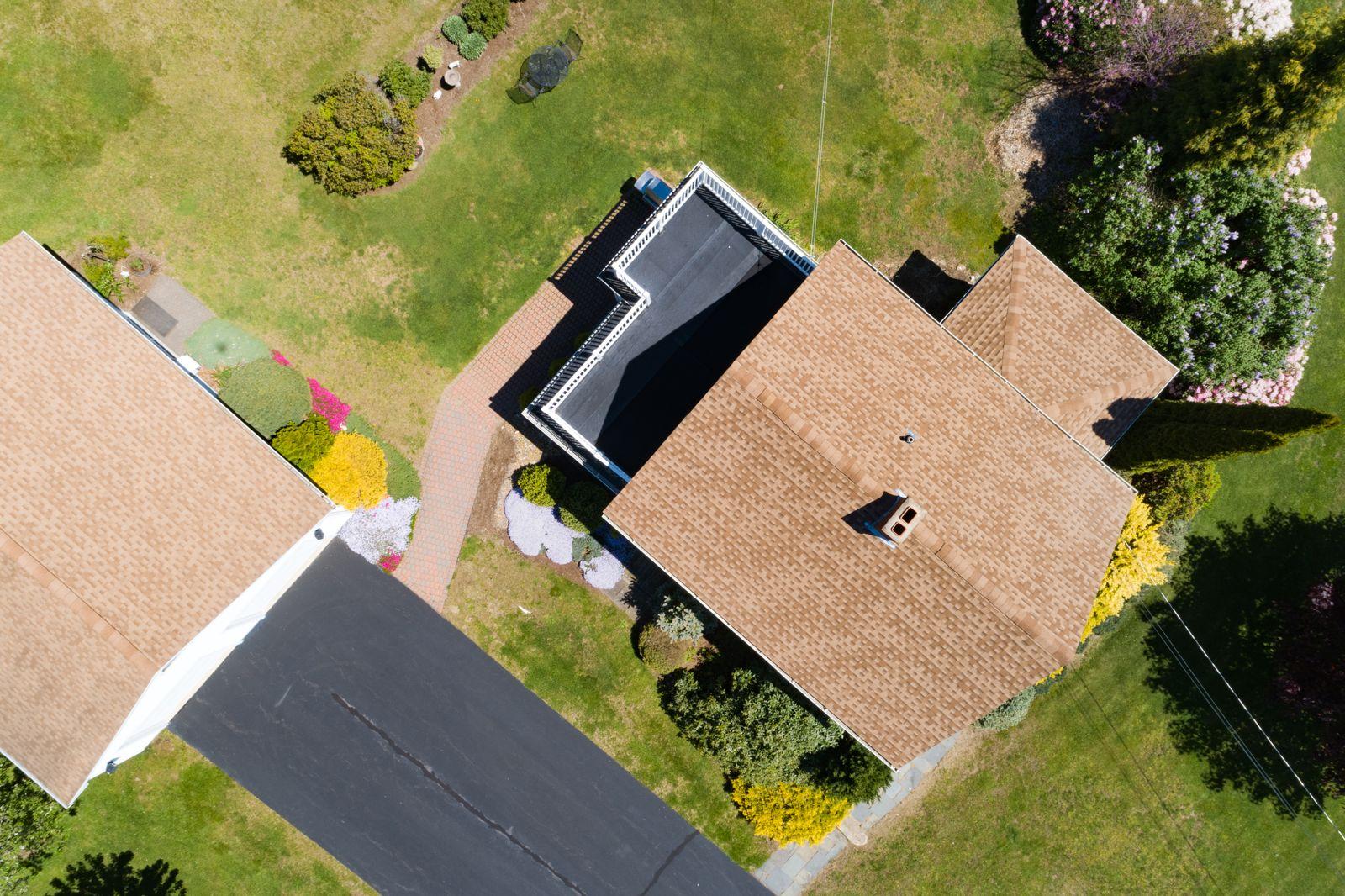
Detailed close-up photos of roofs, chimneys, flashing and gutters, with nobody on a ladder. Documentation for you and your roofer or adjuster. $175.
$175
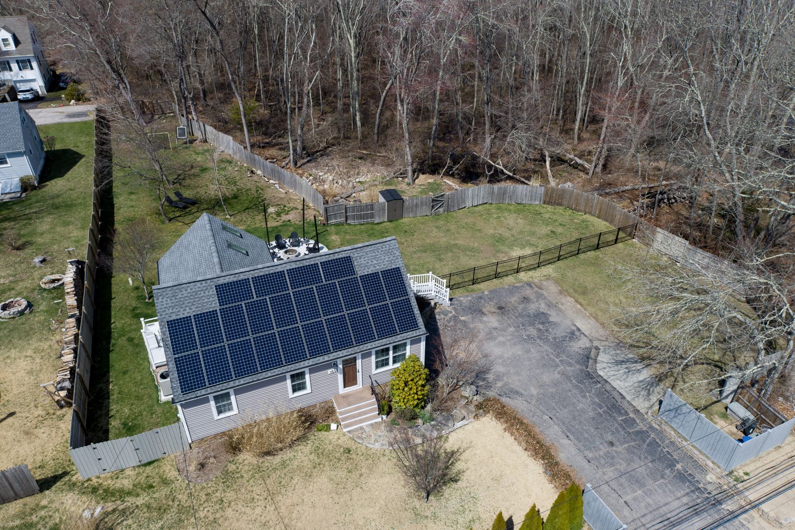
Visual or thermal inspections of rooftop and ground-mounted arrays, or both. Thermal finds hot spots, failing cells and dead strings that look fine to the eye. Residential visual from $199; thermal quoted.
Residential from $199
Portfolio
Progress · Johnson City
A commercial build in Johnson City, flown from September 2025 to May 2026. The same angles on every visit, plus a to-scale map of the whole site.
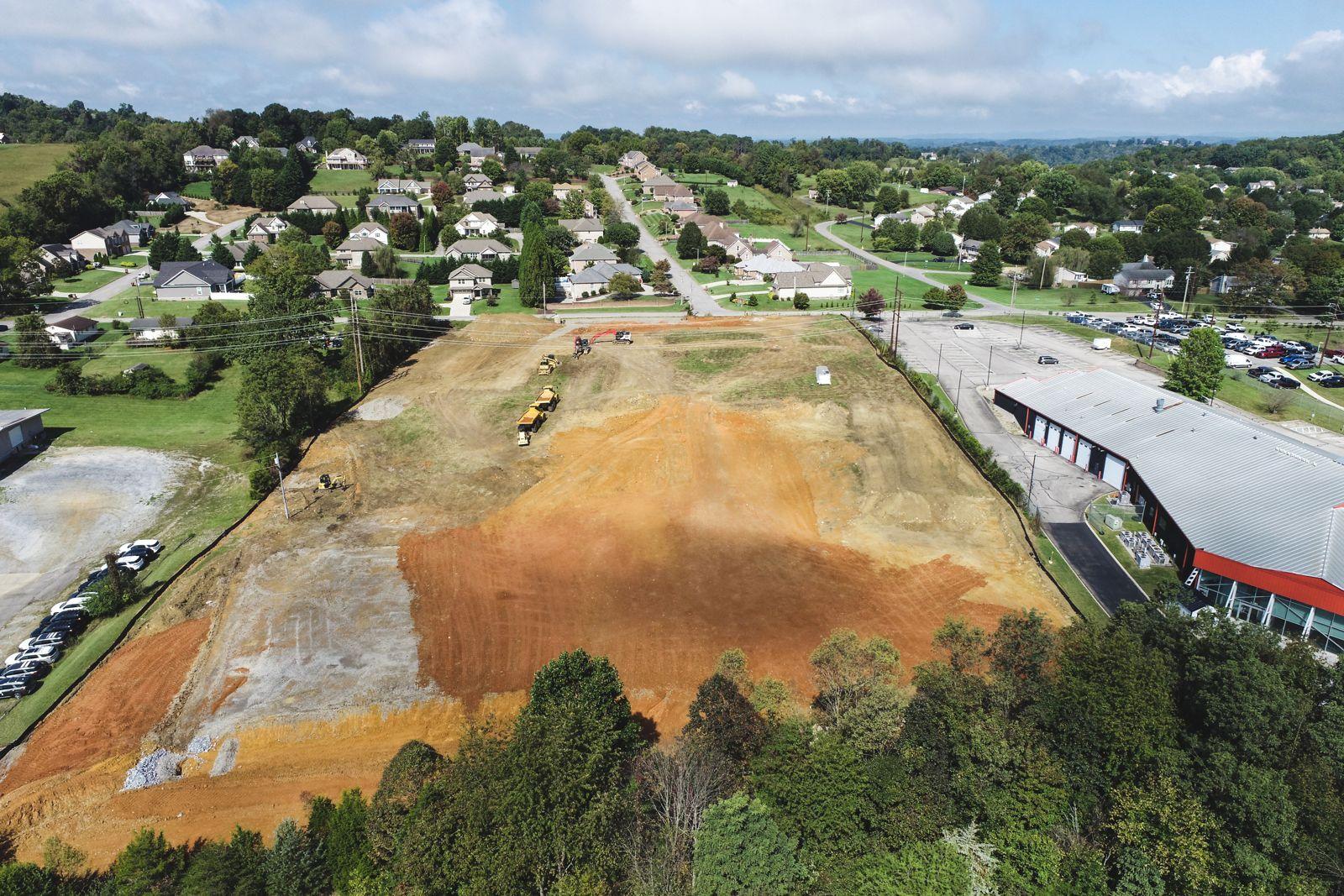
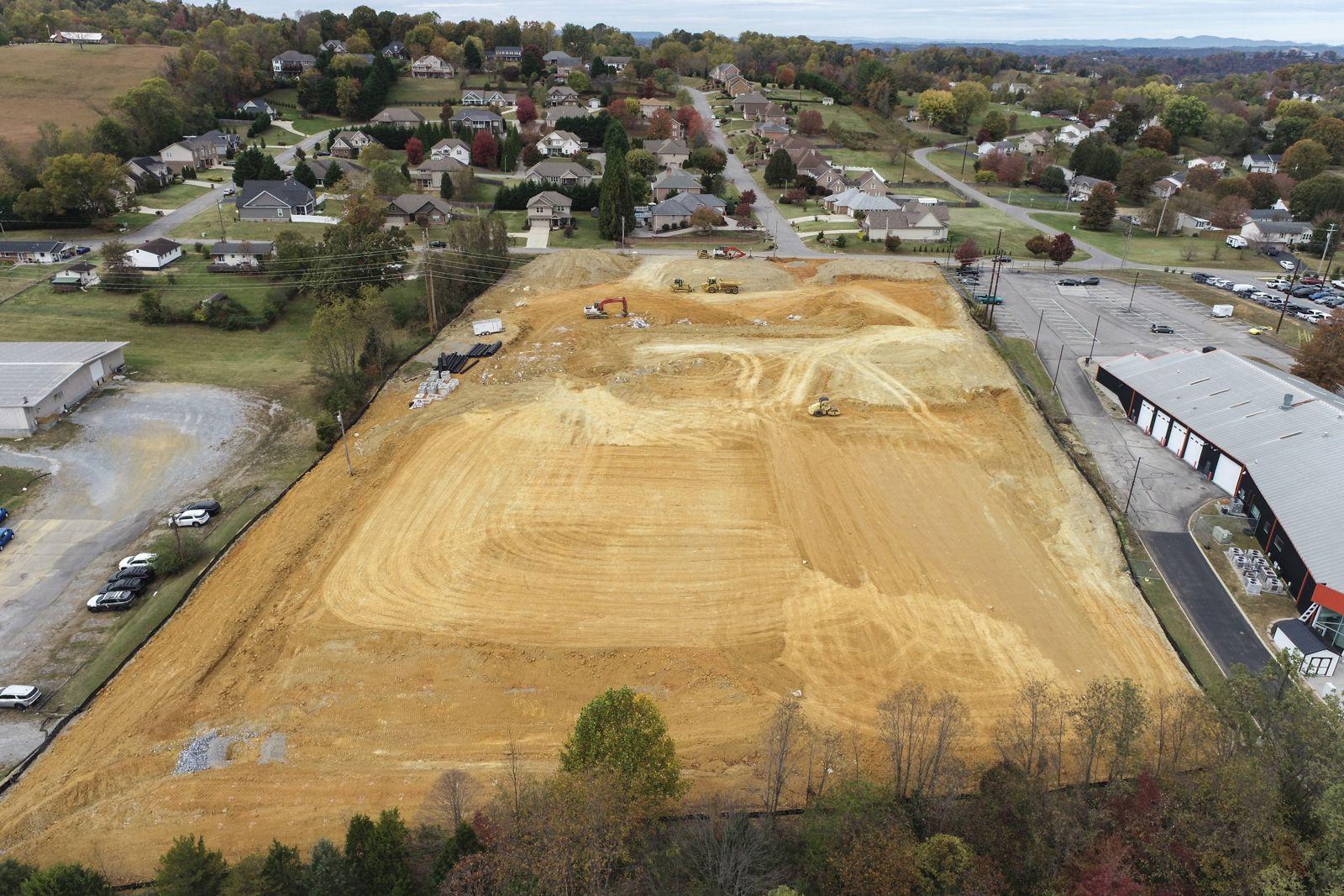
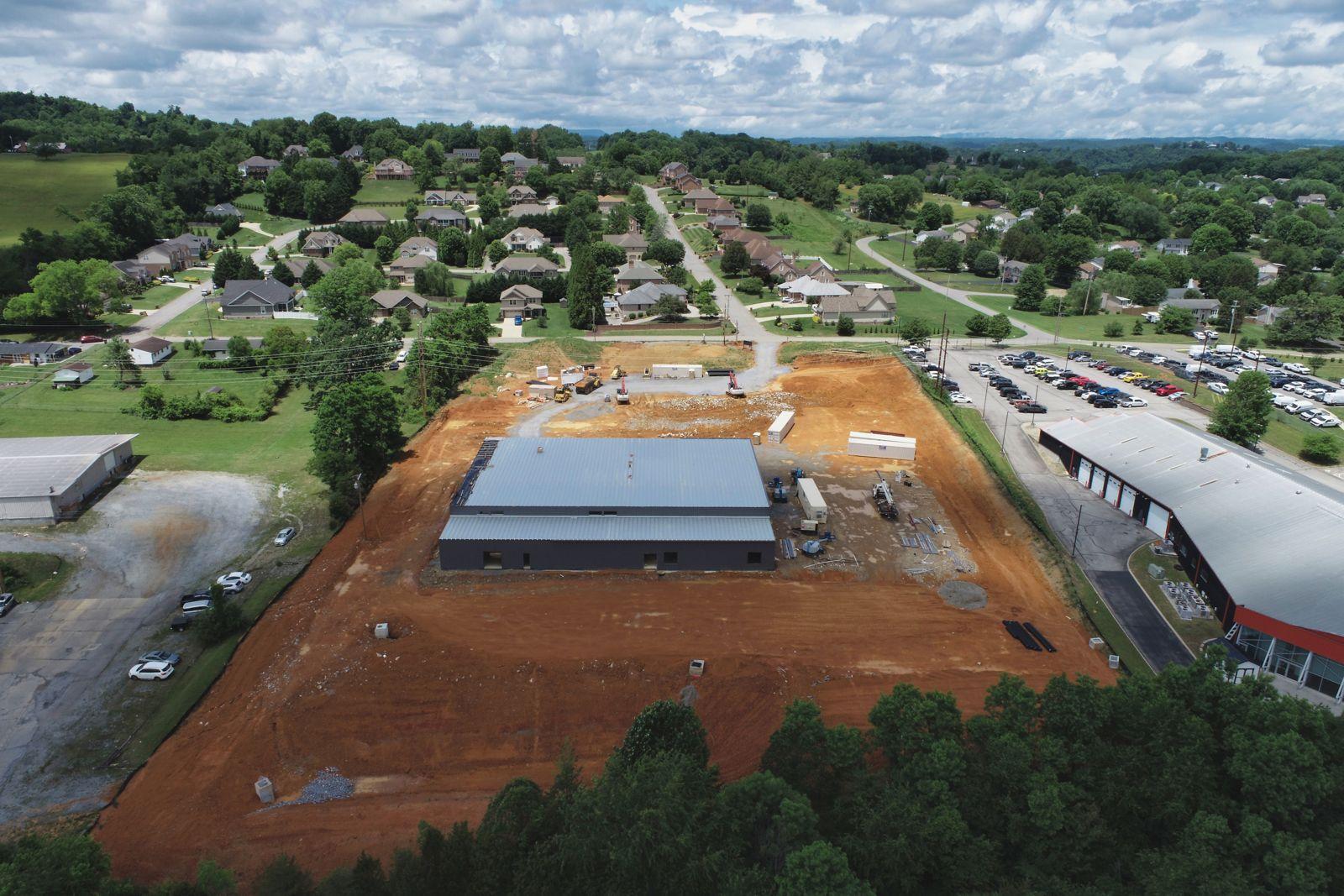
To-scale site maps (orthomosaics) from the same project, each stitched from hundreds of photos.
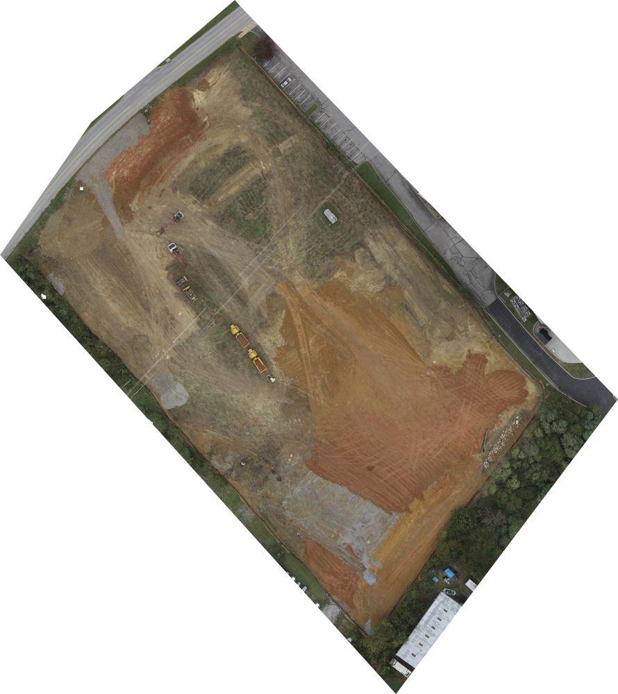 Sep 2025
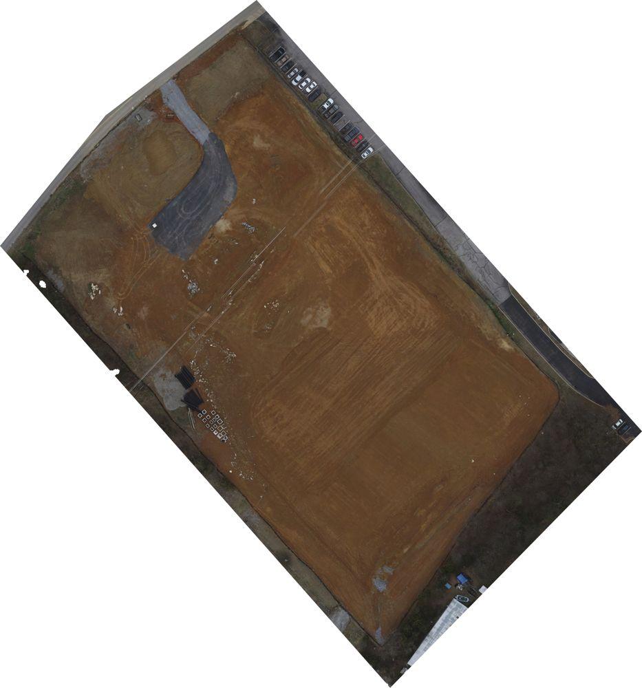 Dec 2025
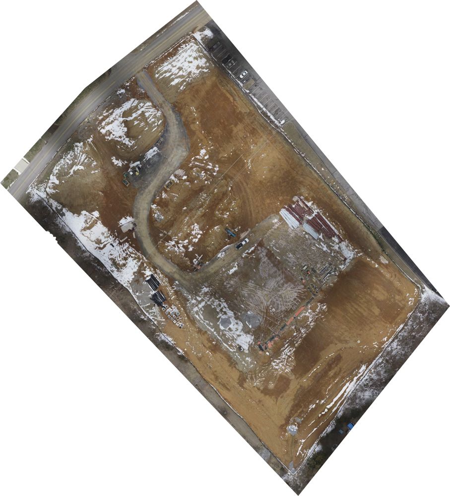 Feb 2026
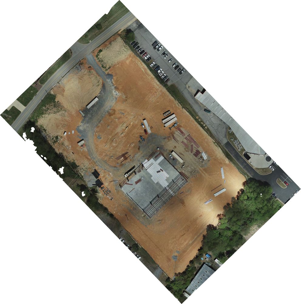 Apr 2026
On the reel
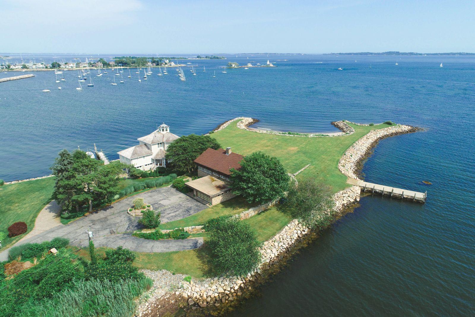
Clips from our reel, flown along the New England coast.
Packages
Prices for a typical Tri-Cities property. Realtors and builders with regular work: ask about repeat-client pricing.
$199*
$349*
$179*per visit, monthly plan
$199*residential, visual
$175*
Travel is free within 30 miles of Johnson City, which covers Kingsport, Bristol, Elizabethton and Jonesborough. Real estate and land work stays in the Tri-Cities and nearby areas. We travel farther for other photo and video work, and for larger commercial jobs like solar inspections and mapping, including out of state. Beyond 30 miles, travel costs are included in your quote, so you see them before you book.
* Prices may change at any time. We'll always confirm the current price in your quote before you book.
How it works
Questions
Yes. Our pilots hold FAA Part 107 remote pilot certificates, and every flight carries $1 million in liability coverage. If you need a certificate of insurance, or need your company added as an additional insured, ask and we'll send it at no charge.
We don't fly in rain, high wind or low cloud. If weather cancels a flight, we reschedule at no charge.
Usually. Some of the area is controlled airspace, which needs FAA authorization before we fly, and we request it while we plan. If a location can't be flown legally, we tell you before you book.
Edited photos arrive within 3 business days of the flight, often sooner. Video, mapping, 3D models and thermal reports depend on the size of the project, so you get a firm delivery date with your quote. Next-business-day photo delivery is available for an added $75 fee.
You choose a visual inspection, a thermal inspection, or both. A visual inspection gives you clear close-ups of the array, with anything visible, like cracks, debris, soiling or shading, pointed out; for a home, it starts at $199. A thermal inspection finds hot spots, failing cells and strings that aren't producing, with the issues marked in a thermal report. Thermal costs significantly more, so it's quoted per job. These are observations, not a diagnosis: a licensed installer or electrician confirms and repairs anything we find.
Many owners check every year or two, after major storms, and whenever production drops for no clear reason. Commercial arrays are often inspected yearly. A thermal inspection can catch problems your monitoring app misses.
No. We capture detailed photos so you, your roofer or your insurance adjuster can see the roof without a ladder. We don't diagnose damage, give a condition opinion or write an inspection report.
No. Our maps are to scale and work well for planning, marketing and tracking progress. Boundary lines, topographic surveys and certified measurements of area or volume are land surveying in Tennessee and must come from a licensed surveyor. When you need that, we can fly for your surveyor.
Yes. We also shoot interior listing photos. Ask for a combined price.
You can use them to market the property or project: MLS, websites, social media and print. We keep the copyright and may show some in our portfolio.
Anywhere in the Tri-Cities at no charge, up to 30 miles from Johnson City. Real estate and land work stays in the Tri-Cities and nearby areas. We travel farther for other photo and video work, and for larger commercial jobs like multi-site solar inspections and mapping, including out of state. Beyond 30 miles, travel and expenses are covered by the client and included in your quote, so there are no surprises.
Get a quote
Send the address and the job. We'll reply with a price within one business day.