 AerialScopeFlight
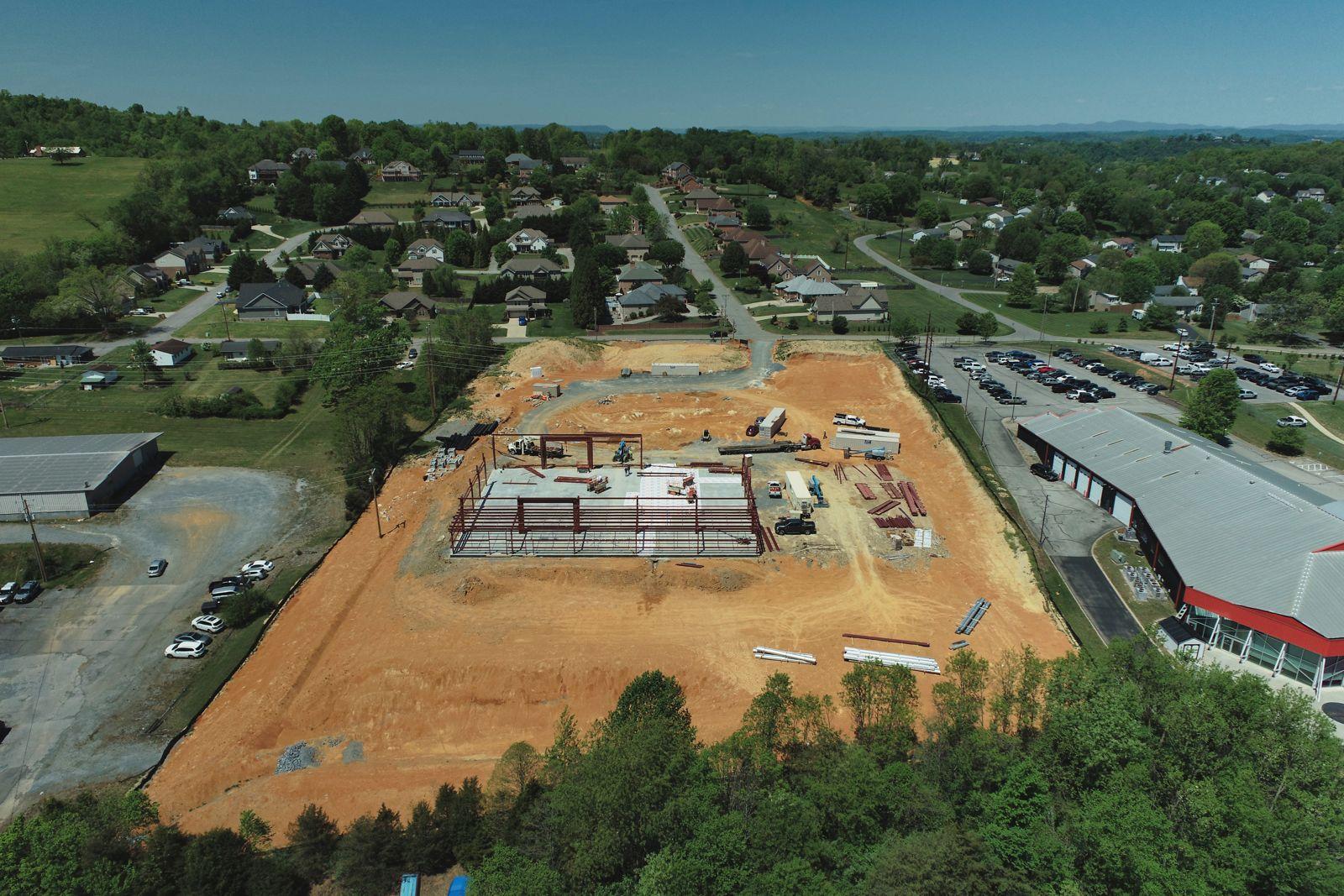
Construction progress
The same angles on every visit, so owners, lenders and buyers can watch the build come together. Monthly plans from $179 a visit, with an optional to-scale site map.
From $179 a visit
Commercial & site data
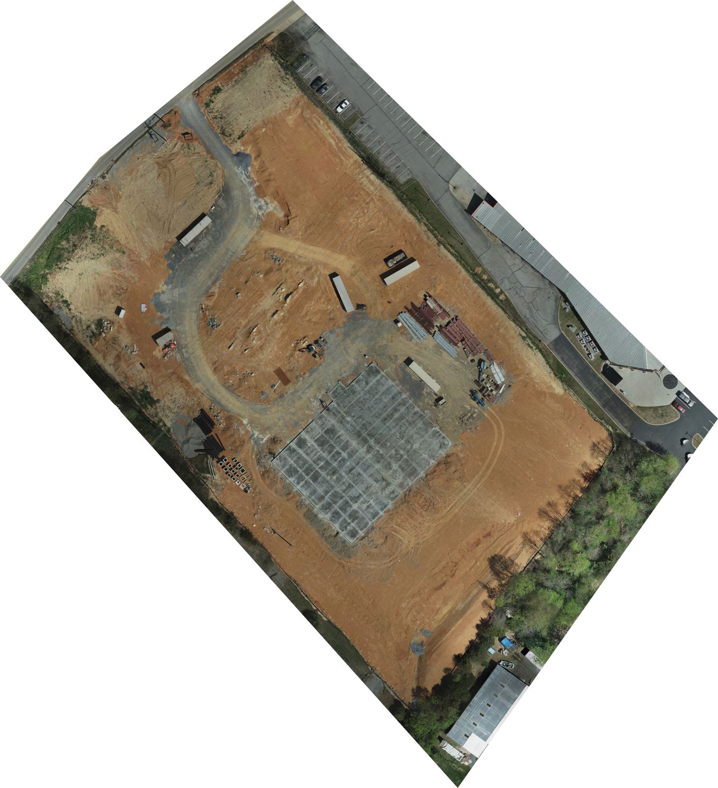
Maps, elevation models and 3D models stitched from hundreds of drone photos. Use them to plan, track progress or market a site. When you need certified measurements, we can fly for your surveyor.
Who it's for
See the whole parcel to scale, current as of the flight, instead of working from old satellite images.
Compare to-scale maps month by month to see what changed across the entire site.
We capture the aerial data under your direction, and you certify the results.
What you get
* Prices may change at any time. We'll always confirm the current price in your quote before you book.
Request a quoteQuestions
An orthomosaic is a single to-scale map made by stitching together hundreds of overlapping drone photos. Unlike a regular aerial photo, it's corrected so the whole image is top-down and distances are consistent across the map. It shows your entire site as it looked on the day we flew.
No. Our maps are to scale and work well for planning, marketing and tracking progress. In Tennessee and Virginia, boundary lines, topographic surveys and certified area or volume measurements are land surveying and must come from a licensed surveyor. When you need that, we can fly for your surveyor.
It depends on how the map is made and what it's for. Ground control points, which are marked spots on the ground, make a map line up more tightly, and we can add them when you need it. If you will rely on a measurement for legal or design decisions, have a licensed surveyor certify it.
We quote mapping per job rather than per acre. Price depends on the size of the site, whether you need ground control points, and which files you want: a map, an elevation model, a 3D model or all three. Send the address and what you need, and we reply with a price within one business day.
We can capture the data, but we don't certify volume figures. In Tennessee and Virginia, certified area and volume measurements are land surveying. If you need certified stockpile numbers, we can fly for your surveyor, who checks and signs off on the results.
Yes. We can fly for your surveyor: we capture the aerial photos and data, and the licensed surveyor directs the work and certifies the results. It keeps the job legal in Tennessee and Virginia and saves the surveyor time on large sites.
Planning, progress records and marketing. A 3D model lets you turn and view a site or building from any angle, which helps when talking through a project with owners, buyers or a design team. It's a visual record, not a certified measurement.
You choose the formats you need. Common ones are a GeoTIFF or KMZ map that opens in GIS software and Google Earth, a 3D model as an OBJ file, a point cloud as a LAS file, and a PDF for sharing. Tell us what software you or your team use, and we'll match it.
Get a quote
Send the address and the job. We'll reply with a price within one business day.
Also from AerialScope Flight
The same angles on every visit, so owners, lenders and buyers can watch the build come together. Monthly plans from $179 a visit, with an optional to-scale site map.
From $179 a visit
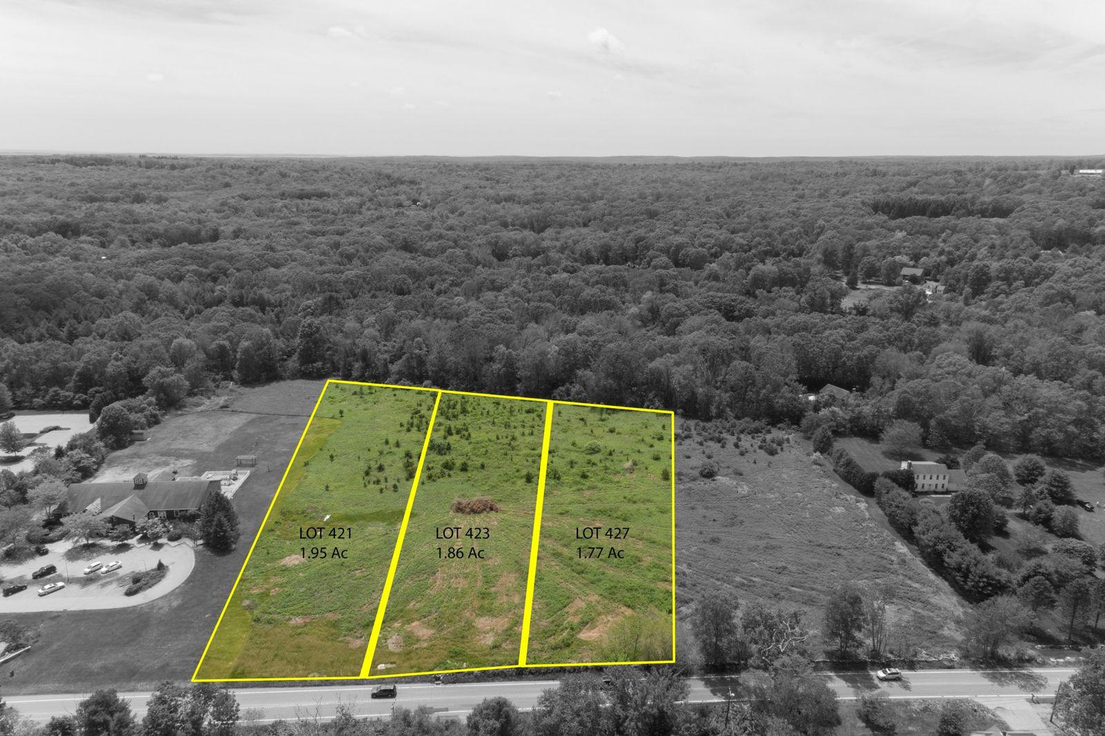
Aerials of acreage, building lots, farms and development parcels, with approximate lot lines from county records drawn on the photo. A marketing visual, not a survey.
From $199