 AerialScopeFlight
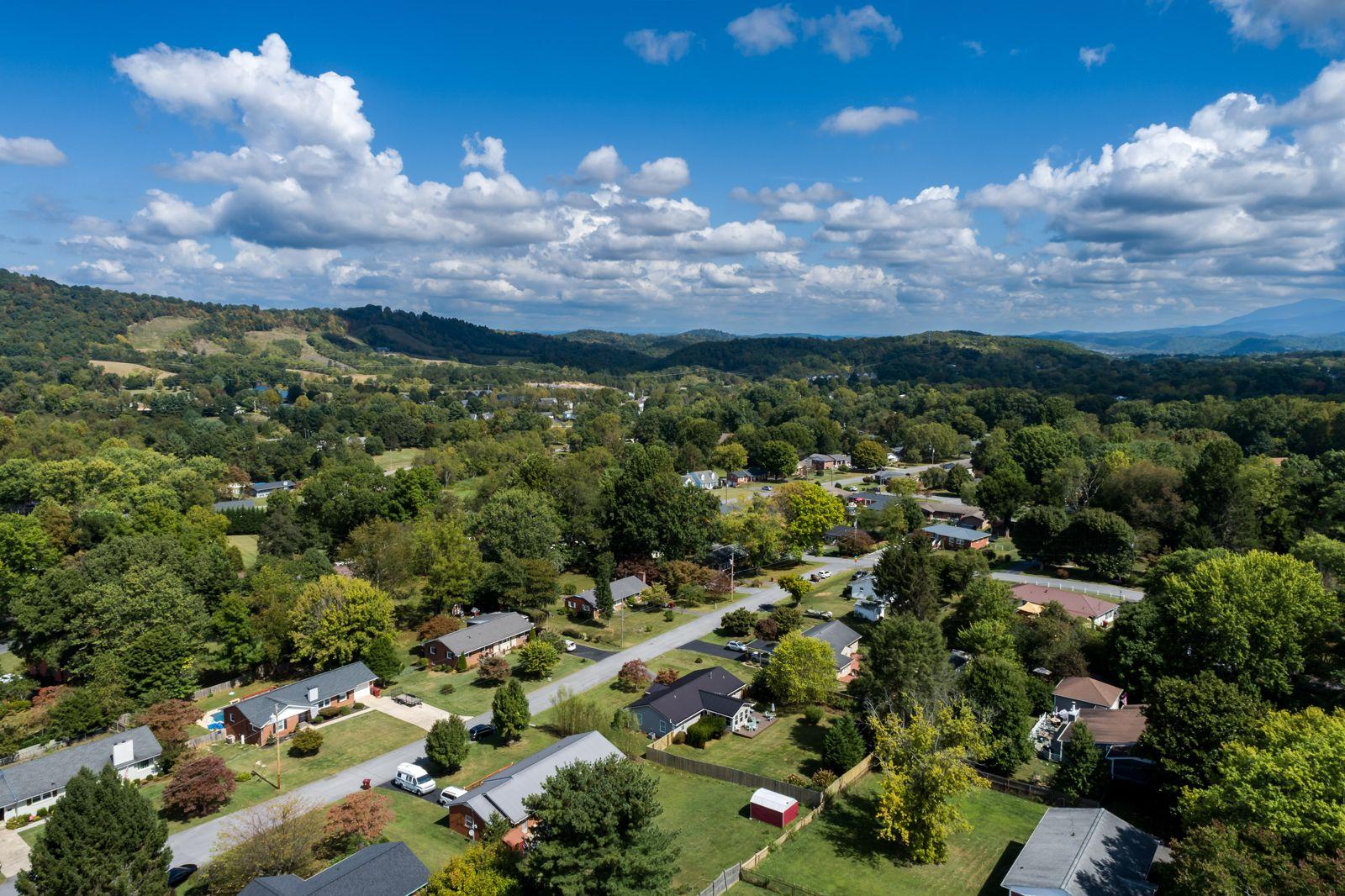
Real estate aerials
Drone photos and video for Tri-Cities listings: the house, the lot, the neighborhood and the view. Sized for MLS, Zillow and socials. Photos within 3 business days.
From $199
Property & marketing
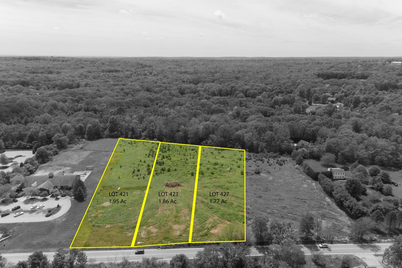
From the ground, land is hard to sell. From the air, buyers see the shape, the road frontage, the tree line and the view. Approximate lot lines make the parcel easy to follow.
Who it's for
Aerials show what a ground photo can't: where the parcel sits, what's around it and how the land lies.
Buyers looking from out of town can see the fields, woods, barns and access before they make the drive.
Outlined lots on one aerial photo help buyers compare sites and see how they fit together.
What you get
* Prices may change at any time. We'll always confirm the current price in your quote before you book.
Request a quoteQuestions
Aerial photos start at $199 for 15–25 edited photos, and photos plus video are $349. Approximate lot lines drawn on the photos add $40. Send the address or parcel and we'll reply with a price within one business day.
They're approximate. We draw them from county records so buyers can picture the parcel, and we label them that way. They're a marketing visual, not a survey. For exact boundaries, a buyer or seller needs a licensed land surveyor.
No. Our maps and photos work well for marketing and planning, but boundary lines, topographic surveys and certified area measurements are land surveying in Tennessee and Virginia. Those must come from a licensed surveyor. When you need survey work, we can fly for your surveyor.
Usually, yes. Vacant land is hard to show from the road, and an aerial shows the size, shape, access and surroundings in one image. Approximate lot lines help buyers see where the parcel starts and stops, and video lets them take in the view.
Yes. Travel is free within 30 miles of Johnson City, which covers Kingsport, Bristol, Elizabethton and Jonesborough. A little farther out, travel costs are included in your quote. For rural parcels, send the address or parcel number so we can plan the flight.
Yes. You can use the photos and video to market the property on MLS, land listing sites, your website, social media and print. We keep the copyright and may show some of the work in our portfolio.
Get a quote
Send the address and the job. We'll reply with a price within one business day.
Also from AerialScope Flight
Drone photos and video for Tri-Cities listings: the house, the lot, the neighborhood and the view. Sized for MLS, Zillow and socials. Photos within 3 business days.
From $199
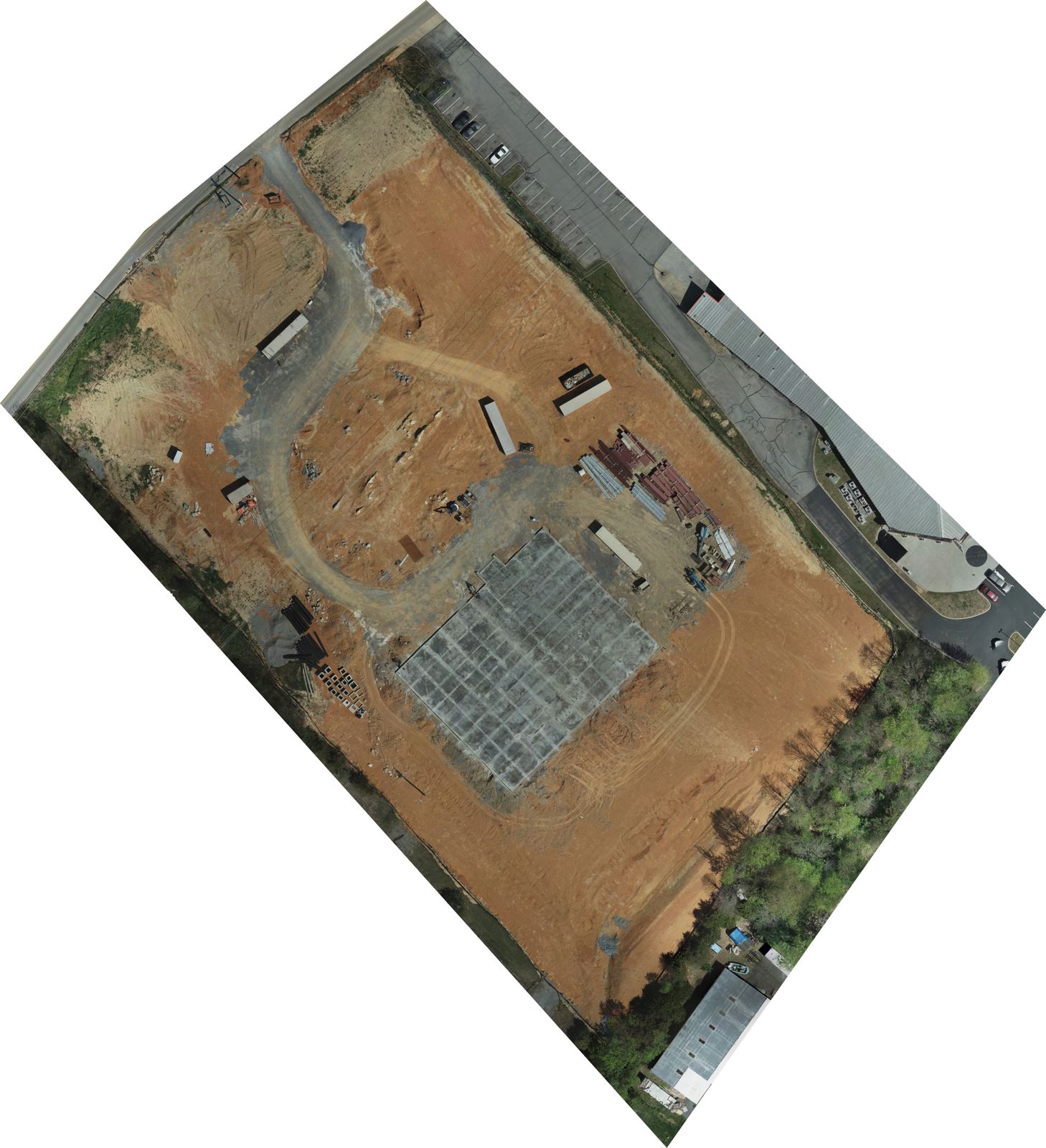
To-scale maps, elevation models and 3D models of a whole site, stitched from hundreds of photos. For planning, progress and marketing. Custom quote.
Custom quote